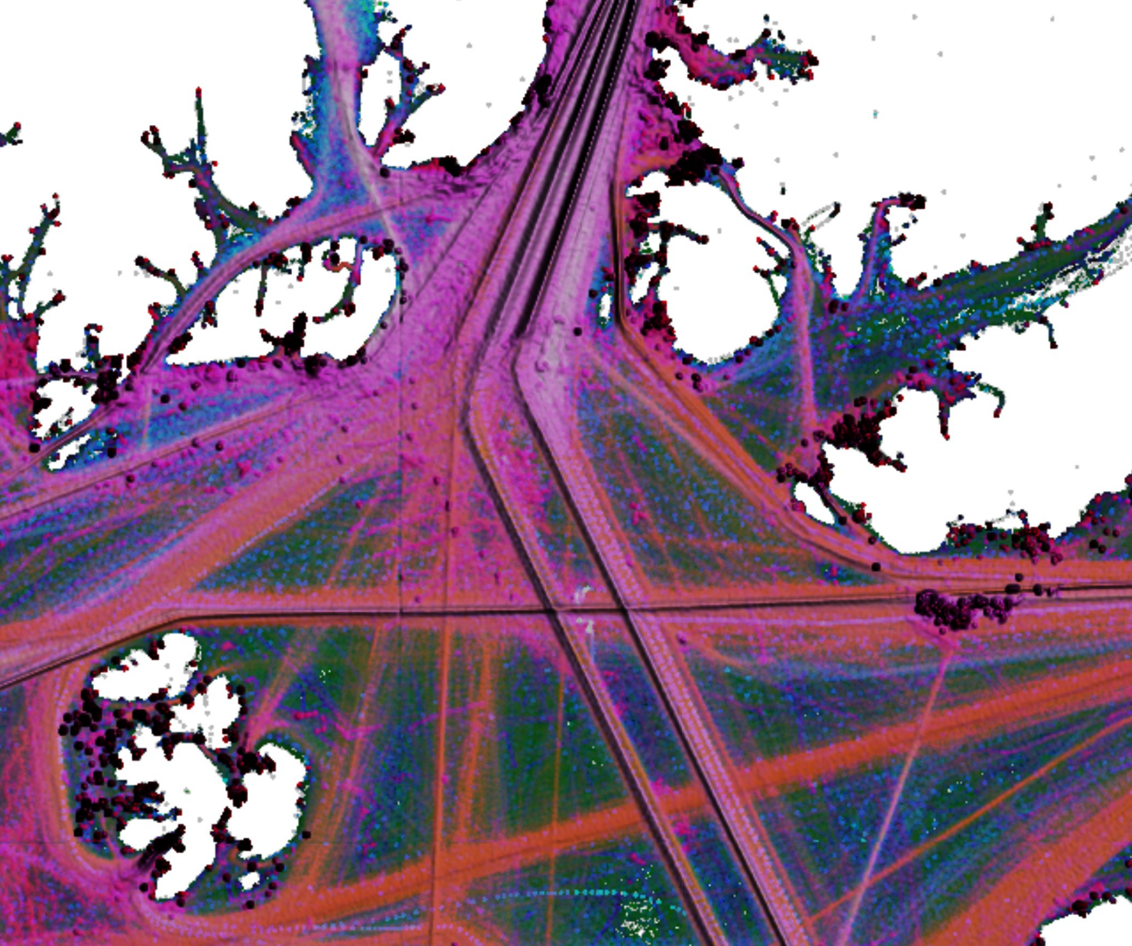
Specialized
Applied Research
People call EnerGeo Solutions when conventional fails.
EnerGeo Solutions is known for developing innovative solutions to geospatial projects that challenge conventional methodologies. A unique blend of core competencies including innovation, leadership, and technological insight turn challenges into successes.
EnerGeo Solutions draws from GeoInt, SigInt, DevOps and Big Data, Oceanography, and Geophysics to address a wide range of environmental objectives. More than twenty years experience with earth sciences, signal processing, seismic data analysis, ground penetrating radar, hydrogeology, unconventional resources, fleet tracking, web services, automated data flow, database design and management, and a host of technical field-related experience outfitting vessels with various equipment, data acquisition, data processing, and data interpretation are available to address your needs.
GIS
Applied geospatial research requires spatial analytics. We lean toward Open-Source solutions as the challenges we address tend to fall outside of the standards required in Enterprise platforms.
Geophysics
Many geospatial solutions have been reduced to general applications, and that is not our gig. A strong background in geophysics theory and practice provides the capability to think outside of the box.
Data Science
Geospatial data require adaptations to conventional data science approaches - many excluding temporal analysis. Our solutions consider space and time from the beginning, so there isn't a need to cobble tools together.
AI/ML
Artificial Intelligence and Machine Learning aim to accelerate and automate geospatial data science. It is absolutely essential that these tools be trained and configured to scale solutions and not problems.

Contact:
Contact us for your geospatial solutions.
